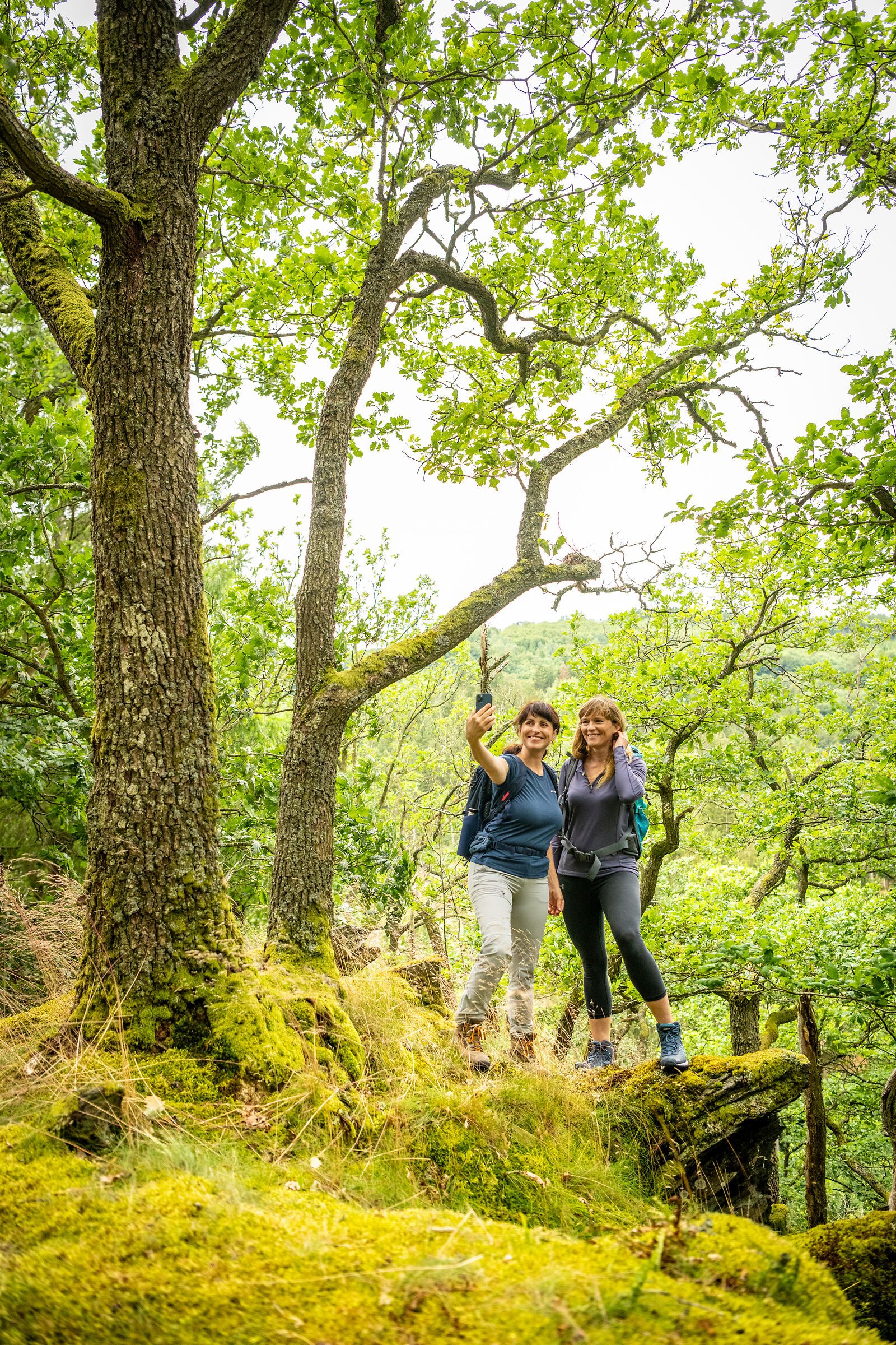
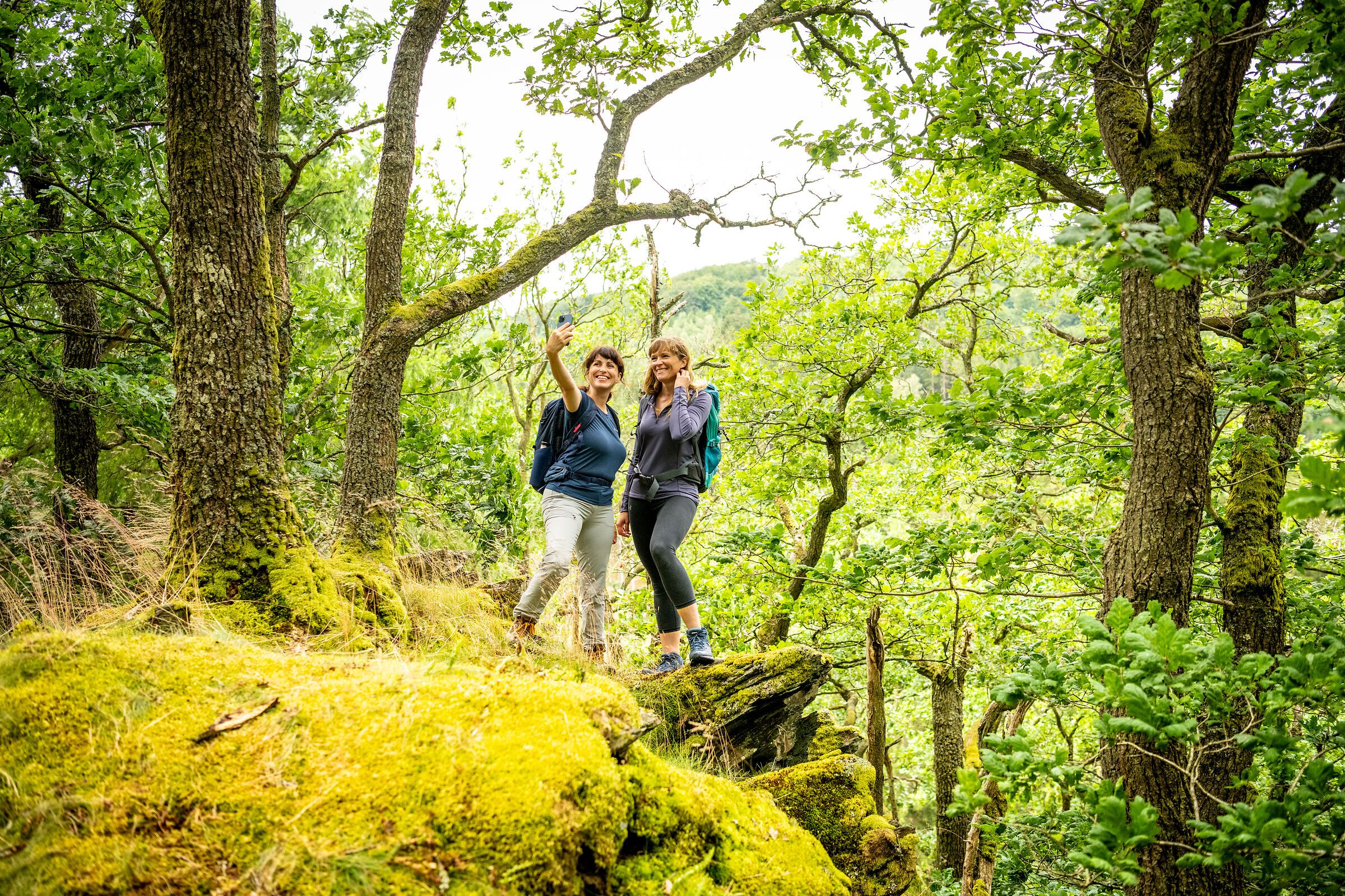
In the Eifel, every path leads you not only through breathtaking landscapes, but also through centuries of history, traces of ancient cultures and deep experiences of nature. Between volcanic rocks and gentle mountain ranges, quiet valleys and sunny juniper heaths lies your very own personal path - and you can now easily find it with the new hiking tour finder.
Whether cultural-historical, natural, sporty or meditative - each hiking route tells its own story. You decide what you want to discover: the rugged rock formations of the Devil's Gorge, the mighty reservoirs and the primeval forest of tomorrow in the Eifel National Park, the wide plateaus in the wild Islek, the powerful volcanic landscape or the rushing natural spectacle at the highest waterfall in the Eifel.
Plan individually. Experience it authentically. Immerse yourself deeply.
With just a few clicks, you can find the tour that suits your rhythm - by difficulty, length or theme.
The hiking tour finder is your compass for discovering the natural landscapes of the Eifel
Find a tour now and start hiking:
Discover spectacular views and experience nature with rugged basalt and lava rocks as well as ancient beech forests. The flowering of the lunar violets is particularly impressive in May and June.
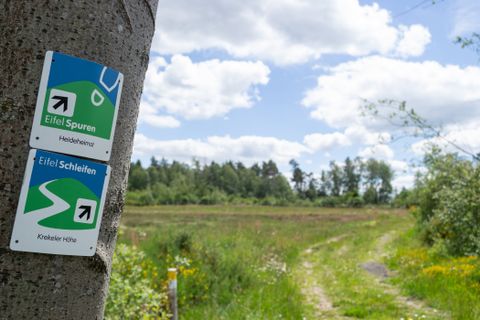
The EifelSpur Heideheimat trail leads to the Sistig-Krekeler Heide, a botanical paradise with rare orchids.
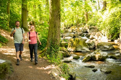
RPl4 - Pommerhof 9.0 km
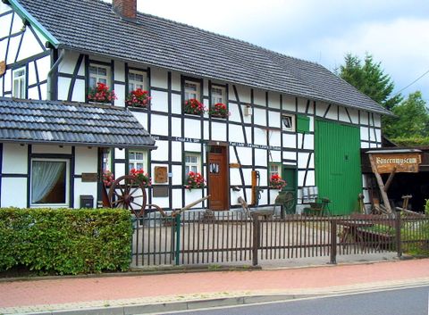
Length: approx. 5.6 kilometers Duration: approx. 2 hours Difference in altitude: approx. 75 meters
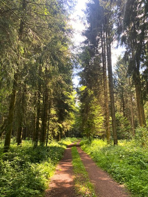
Varied circular tour around Birgel with wonderful far-reaching views. This tour offers various sports stations along the way and lots of information about native trees.
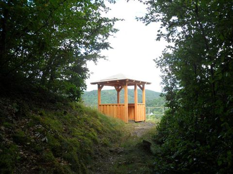
Circular route via three beautiful viewpoints from Schuld
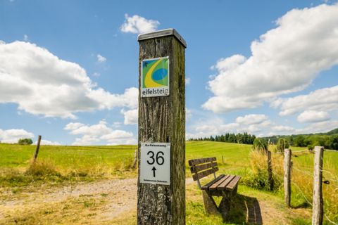
29 circular hiking trails in the municipality of Simmerath: Hiking trail 36 - Rur-Panoramaweg Distance: 6.5 km Starting point: Church in Simmerath-Dedenborn
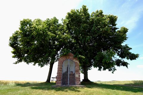
The short 3.7 km circular route through Berg-Thuir shows all the special features of the village.
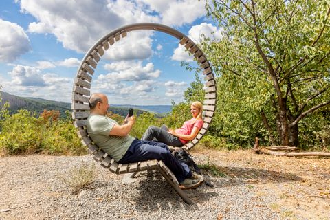
A short hike with great panoramic views of the climatic health resort of Heimbach with Hengebach Castle and the hydroelectric power station.
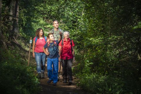
Round trip in the Nitzbach valley
Benefit now from the early booking advantage on many hiking and cycling tours!